

How Drones Are Revolutionizing Project Management for Builders and Developers
- drewsaerialmedia
- Aug 23, 2025
- 5 min read

Drones have quickly gone from a niche novelty to an industry staple, especially in construction and development. Builders and developers across the Midwest and beyond are harnessing drone technology to streamline projects, drive efficiency, and gain a competitive edge. Let’s dig into how this tech is flipping project management on its head and changing the game for good.
Real-Time Progress Monitoring and Digital Documentation
One of the biggest pain points in project management used to be keeping a firm grip on daily progress. Traditional walk-throughs and manual documentation could take hours and still leave gaps in understanding. Drones flip the script, allowing project managers to perform site-wide flyovers in under an hour (FAA: Unmanned Aircraft Systems).
Real-time aerial imagery gives managers a bird’s-eye view of everything that’s happening—no more guesswork or waiting for reports to come in. When combined with drone mapping software like Autodesk Drone Surveying, you can create digital twins: high-fidelity, virtual replicas of your site that update with every flight. Running the same flight path each week means changes—progress or delays—pop out immediately, making weekly meetings far more focused and actionable.
For example, at Drews Aerial Media, we set up our drones to capture high-resolution images along consistent flight paths, giving you a time-lapse of your build from start to finish. Each snapshot is a powerful tool in tracking progress and keeping everyone, from foremen to investors, on the same page.
Aerial drone mapping enables quick, detailed overviews of sprawling construction sites, making progress monitoring seamless and visual.
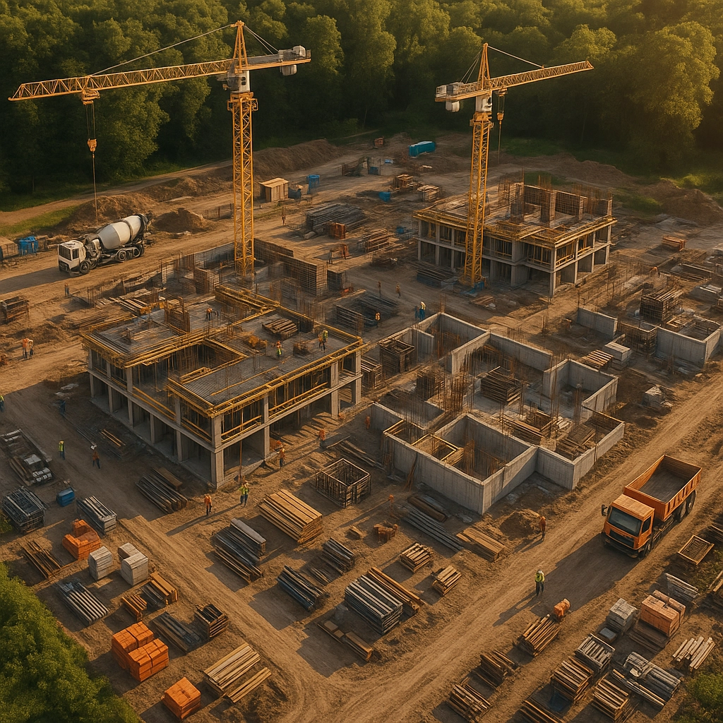
Aerial drone mapping enables quick, detailed overviews of sprawling construction sites, making progress monitoring seamless and visual.
Enhanced Efficiency and Time Management
Gone are the days when accurate site surveys dragged project schedules down. With a drone, you can survey up to 120 acres an hour (Forbes: Drones in Construction). That’s a massive leap compared to about five acres per hour using old-school surveying tools. More frequent and thorough surveys mean problems are spotted and corrected before they snowball, keeping projects on track.
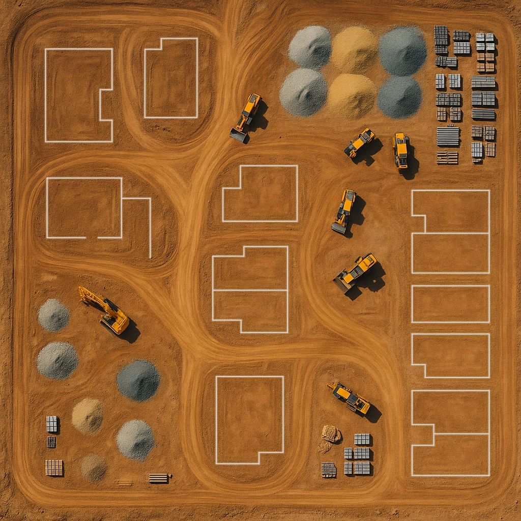
But efficiency isn’t just about speed. Drones offer a new level of precision in asset tracking and site analysis. Thanks to platforms like Esri ArcGIS Drone Mapping, they can help pinpoint exactly where materials are stored, monitor equipment usage, and even calculate material volumes for cut-and-fill operations. That adds up to better planning, smoother resource allocation, and reduced downtime—because when you know where everything is, nothing (and no one) sits idle.
Cost Control and Financial Management Cost overruns are the bane of any project manager’s existence. With drones, managing costs becomes more straightforward on several fronts. Regular site scans reduce the need for repeated subcontractor visits or expensive external aerial surveys, aligning with FAA commercial drone regulations. Now, site managers can handle most mapping and measurement needs in-house, with up-to-date data available whenever it’s needed.
Drone-generated volumetric data is a game changer for material usage tracking and financial forecasting (Autodesk: 3D Mapping Software). Project managers can make accurate calculations on things like stockpile volumes right from their desktops, helping avoid over-ordering and last-minute shortages. Fewer surprises mean less wasted material, better budget adherence, and fewer costly delays.
And when disputes happen—say, around progress billing or completed work—timestamped drone imagery provides an objective record. It’s easier to justify an invoice or approve a contractor draw when everyone can see exactly what’s been accomplished from day to day.
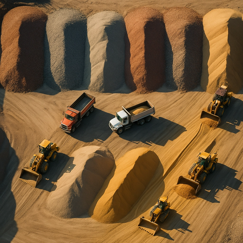
Detailed drone imagery helps accurately track material stockpiles and on-site progress, minimizing costly errors and discrepancies.
Detailed drone imagery helps accurately track material stockpiles and on-site progress, minimizing costly errors and discrepancies.
Improved Stakeholder Communication and Transparency
Building and development projects involve a lot of people—clients, investors, architects, local authorities, and regulatory agencies. Keeping everyone updated used to mean endless phone calls, emails, and the occasional heated debate. Drones transform reporting from dull documents to visually engaging presentations (Realtor.com: Drones in Real Estate Marketing).
With regular aerial images, project managers can walk clients and stakeholders through live or recent views of the site. You can even stream footage during meetings and focus in on problem areas “on demand,” showing the finer details in real time. It’s a fundamentally different experience: instead of telling people what’s happening, you show them.
High-res drone imagery also makes permit applications, compliance checks, and milestone reporting much smoother. Everyone gets a clear, unified understanding of how the work is progressing—which translates to greater client trust and easier approvals (National Association of Realtors: Drones in Real Estate).
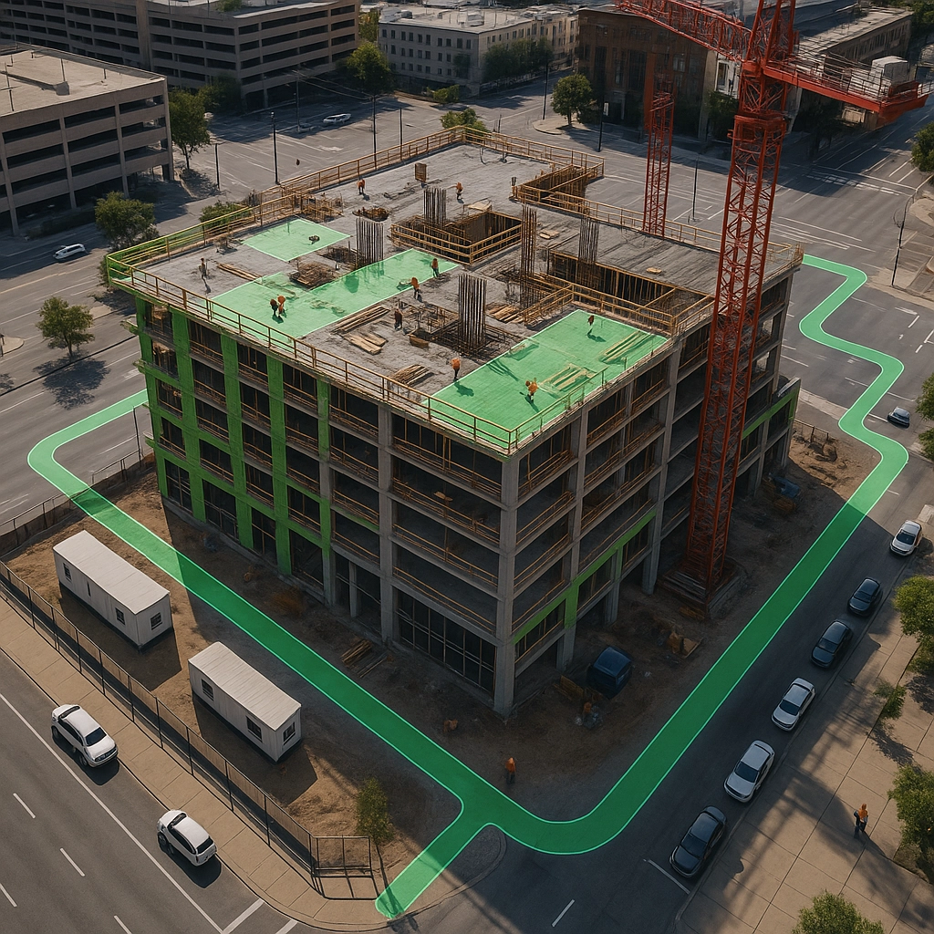
Drones improve stakeholder confidence by making progress transparent and verifiable with real-time visuals.
Risk Management and Safety Enhancement
Construction sites are inherently risky. Inspections for roofing, tall structures, or hard-to-reach areas used to require temporary scaffolding and lots of safety checks. Drones can do much of this dangerous work remotely, capturing close-up shots and thermal images from above (FAA: Drone Safety).
Reduced human exposure to hazard zones means fewer workplace accidents and lower downtime due to incident investigations. Remote capability also speeds up insurance claims, regulatory audits, and safety reviews, as those overseeing compliance have reliable, up-to-date site documentation at their fingertips.
For payment processing and potential disputes, drone documentation creates a reliable “paper trail” that’s quicker and less subjective than traditional photos or written reports. If a subcontractor questions an invoice or schedule, a drone-captured timeline can serve as impartial evidence.
Strategic Decision-Making and Future Planning
Data is king in project management, and drones provide a torrent of it. Teams can assess work completed, compare it to project plans, and run side-by-side comparisons of different time periods—all visually, all in just a few clicks (Esri: What Is GIS?). That level of insight lets managers identify bottlenecks, adjust resources on the fly, and anticipate issues before they become costly problems.
With improved forecasting and rapid data collection, customer estimates become more accurate and competitive. Better bid proposals, faster turnaround, and tailored solutions translate into winning more projects and delighting clients.
Drones also help optimize future project phases. Reviewing the aerial documentation of completed projects leads to smarter planning for similar jobs, whether that’s anticipating delivery schedules, staffing, or material needs.
In-depth site analytics from drone data empower teams to make agile, evidence-based decisions at every project phase.
In-depth site analytics from drone data empower teams to make agile, evidence-based decisions at every project phase.
The Bottom Line
Drones aren’t the future of construction project management—they’re the new normal. By transforming documentation, efficiency, cost tracking, communication, safety, and decision-making, drones have become an indispensable part of the builder and developer toolkit.
Thinking about elevating your next project with cutting-edge drone services? Drews Aerial Media is here to help. Learn more about our professional drone solutions at drewsam.com, or book your session online today.
Let’s build smarter, safer, and better—together.


Comments